
New Brighton Neighbor Records by Block
For a New Brighton block, “neighbor” can mean the parcel that shares a boundary, the homes between two cross streets, or people who take part in the same civic setting. Those are not interchangeable. Ramsey County parcel records establish land relationships. The City address material helps place a street sequence among parks, rail lines, and public space. Voter and community sources have narrower roles. Starting with the source that matches the question keeps a parcel owner, a historical occupant, and a community contact from being treated as the same person.
| Source | What It Shows About a Block | Access |
|---|---|---|
| MapRamsey parcel viewer and REST layer | Adjacent parcel polygons, street geometry, and parcel identifiers | Public map and ArcGIS query, with the layer and capture date recorded |
| New Brighton Address Atlas and GIS | Street numbering, landmarks, rail lines, parks, and public facilities | City PDF or web GIS; the atlas is dated July 2024 |
| MNVotes and Ramsey precinct material | Current polling geography and election-year precinct context | Public status or poll-finder tools, subject to voter-data limits |
| Historic directories | Earlier address-to-household or business entries along a street | Library and archival holdings; coverage is incomplete and often head-of-household only |
| New Brighton Connect and Get Involved | Civic organizations, meetings, and participation routes | City public pages, not membership rosters |
| Recorder or city records request | A defined covenant, permit, ordinance, or other block-related record | RecordEASE or a targeted Minnesota Government Data Practices Act request |
Tax and deed material may identify an owner or taxpayer for a parcel, but neither one proves who presently lives there. A directory entry ties a name to an address only for its edition year. The sound approach is to label each result by its role and date. That leaves room for an absentee owner, a prior owner, a business address, or a past household without inventing a current connection.
Defining a New Brighton Block
A reproducible New Brighton block begins with named cross streets, not a loose radius around a pin. Parcels whose polygon edges touch can be called adjacent. Addresses bounded by the cross streets can be called the same block. A corner lot may belong to two street segments. I-694, a railroad, Long Lake, a park, a public parcel, or a municipal edge can separate places that look close on a screen.
The July 2024 Address Atlas is useful for checking street orientation and nearby features before comparing parcels. Its labels include local streets, section lines, rail, water, parks, and schools. The city’s Maps & GIS resources add parcel, road, zoning, flood, and address layers. A map layer is context, though, not a legal survey or a current ownership statement.
Historic place terms deserve the same care. Older records may use Mounds View Township, New Brighton Exchange, Butchers Spur, or Northwest Quadrant instead of a modern street name. Those terms can widen a historical search, but they should not be used to assign a present-day neighborhood boundary.
Note: Record the atlas edition, map layer, and cross streets whenever a New Brighton block description depends on mapped context.
MapRamsey for New Brighton Neighbor Parcels
MapRamsey is the practical starting point for an adjacent-parcel check. Its tax-parcel layer combines parcel geometry with address attributes and broader context such as imagery and administrative layers. Save the visible layer name, map scale, and date before interpreting a boundary. The county’s property systems use a PIN or ParcelID as the bridge between the map, assessment material, and recorded documents.
- Normalize the New Brighton address, including directional street details and a unit where relevant, then locate the target parcel on the map.
- Turn on tax parcels and identify the selected parcel. Record the ParcelID or PIN, street fields, and whether the object is actually a parcel rather than a ZIP polygon or road line.
- Click the parcels whose boundaries touch the target. Compare their street-side placement with the Address Atlas, especially at corners and beside public land or water.
- Use the PIN or legal description in the Ramsey property record and Recorder trail only when the question calls for an owner or recorded instrument. Keep each result date-stamped.
Address → MapRamsey parcel → PIN or ParcelID → assessment owner or taxpayer field → recorded instrument. This flow separates the land record from an assumption about occupancy. Ramsey’s Property Tax and Value Lookup leads to Beacon, where an address, owner name, PIN, or plat, block, and lot can be used as a property lead. The assessment card is not a certified title opinion. When the question expands from nearby parcels to every address on a named street, the New Brighton Street Directory offers the fuller street-by-street route.
New Brighton Precincts and Neighbors
Election geography can clarify a public district, but it does not draw a neighborhood. Ramsey County’s precinct materials identify New Brighton precincts P-1 through P-8. Those labels are useful only with an election year because districts and polling places can change. The Minnesota poll finder is the address-specific route for current polling-place and district information.
MNVotes is a private, one-person registration-status check. It asks for a first and last name, full date of birth, and a ZIP or county-and-address route. Its result is a status or next-step response, not a searchable resident roll. The human-use value is narrow: a person can check their own registration or correct a mismatch through official channels, without turning voter information into a block list.
Public voter-list access under Minn. Stat. §201.091 requires identification and a written purpose, limits use to elections, political activities, and law enforcement, and bars searchable online publication, sale, loan, and redistribution. A permitted request goes to Ramsey Elections and should ask only for the public fields needed, by inspection or copy. Registration and voting history are separate fields. Neither establishes ownership, household membership, or a lasting connection to an address.
Note: Date every P-1 through P-8 reference by election year, then use the current poll finder for present polling geography.
New Brighton Neighbor Community Routes
Community information is most useful as a way to find a public meeting, an official contact, or historical context. It is not evidence that a named person lives on a particular block. New Brighton’s civic layer includes commissions, town halls, neighborhood meetings, and National Night Out opportunities. The city’s community directory also identifies local groups that can point researchers toward public programs, anniversary material, or meeting notices rather than private member information.
The city’s Get Involved page shows the public participation routes available in New Brighton.
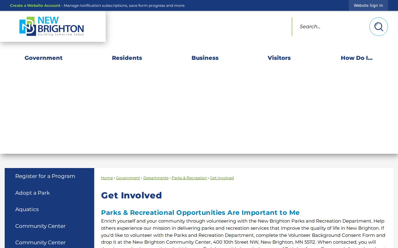
Those routes can help place a block within its civic setting while keeping the focus on public events and contacts, not household rosters.
| Community source | Useful public context | Boundary to keep |
|---|---|---|
| Get Involved | Commissions, town halls, neighborhood meetings, and National Night Out | Participation routes do not identify nearby residents |
| New Brighton Connect | More than 30 local organizations and official links | A listed organization is not a member directory |
| Lions, Rotary, VFW Brooker-Edmund Post 724, and League of Women Voters New Brighton Area | Named civic groups in the city directory | Current memberships and contact lists are not a public block record |
| St. John the Baptist Catholic Church and the Saint Anthony–New Brighton school district | Community institutions named by the city directory | Institutional connection does not prove a home address |
New Brighton Neighbor Association Trails
No authoritative citywide neighborhood-association boundary register was located. A named association may relate to a specific parcel through a recorded covenant, a plat, an incorporated entity filing, or a defined city record. Begin with the parcel’s legal description and do not assume that an association name visible on a sign covers every home nearby. The absence of a filing also does not prove that an informal block group does not exist.
- Parcel
- A county tax unit identified by a PIN or ParcelID. Its outline helps determine which lots touch.
- Plat
- A recorded subdivision map. A plat, block, and lot can help connect an address to its legal description.
- Covenant
- A recorded document that may define a property restriction or association-related obligation. It is not a resident roster.
For a defined covenant or filing, use the Ramsey Recorder’s RecordEASE service or the Property Records Resource Center. RecordEASE is a paid remote service, while the Resource Center provides a counter and workstation alternative. An incorporated association can also be checked through the Minnesota Secretary of State business search. If the needed city record is specific, the New Brighton data-request form allows a request for inspection or copies with an address, date range, and record type. Classification and copy charges can apply.
Official Records and Neighbor Tools
Official material and commercial neighbor-lookup tools serve different purposes. A county map or city record identifies its custodian and usually lets a reader trace the field back to the source. Commercial tools commonly combine public and marketing data, then present a convenience view that may lag behind the underlying record. Treat either route as a lead that needs source-by-source verification, not as a reason to merge people, households, and parcels automatically.
| Official record route | Commercial neighbor-tool category |
|---|---|
| MapRamsey, Beacon, Recorder documents, and city records identify the responsible custodian and record type. | Compiled profiles may blend current and historical information from sources with different update cycles. |
| A parcel, deed, precinct, or permit can be read with its date, legal context, and stated limit. | An apparent match can join people with similar names or connect an owner with an occupant without proving either link. |
| Questions can be directed to Ramsey County or New Brighton, using the source record and date. | Corrections and removals must be pursued with the provider, while the original public record remains under custodian rules. |
In New Brighton, a source record with a date and custodian is the stronger starting point whenever a result matters. It leaves a clear route for checking an old address, a parcel mismatch, or a name collision without presenting an unverified profile as a fact.
New Brighton Neighbor Privacy Boundaries
Public availability has firm limits. Renter names and household composition are not reliably shown by assessor records. DMV addresses, utility accounts, and delivery-customer lists are not public block resources. Voter information carries special controls, and Minnesota Safe at Home participants may use a substitute address. A parcel map can describe land and a public district, but it cannot fill in protected identities or household details.
Minnesota’s Government Data Practices Act presumes government data public unless another law classifies it differently. New Brighton accepts defined public-data requests by mail, email, fax, or in person; inspection is free and copies may have permitted costs. Requests should identify the address, date range, and specific record sought. The office does not have to create a new dataset or answer an undefined request. The Safe at Home program is a protection, not a hurdle to work around.
Lawful use. New Brighton neighbor research is appropriate for personal property history, civic context, or reconnecting through public channels. Do not use records to watch, contact repeatedly, intimidate, or harass anyone; Minnesota’s anti-stalking law can apply when conduct crosses that line.