
Trace New Brighton Previous Residents by Era
Previous residents are found through a sequence of records, not a single old-address database. Start with the parcel, then work backward through recorded instruments, dated directories, census material, newspapers, obituaries, probate, permits, and historic maps. Each source has a different purpose. A deed records a conveyance, a directory associates a printed entry with an address, and a census captures a household at the time of enumeration. The most reliable answer states which source supports which connection.
| Trail source | Era or cutoff | Where to use it | Address-history value |
|---|---|---|---|
| Township and territorial material | Before the modern city identity; 1849-1855 material and later state schedules | MNHS, NARA, and county repositories | Earlier place names and household context |
| Rail and village development sources | 1883-1892 | City history, newspapers, historical society | Plat, depot, packing, and stock-yard vocabulary |
| City and telephone directories | Identified 1956 and 1958 North Suburban volumes; 1957 missing | RCL, MNHS, and Saint Paul collection | Dated address-to-household or business association |
| Historic Sites Survey | 1980-1983 | MNHS finding aid and Ramsey County Historical Society | Building, address, and historic-context lead |
| Electronic Recorder material | April 24, 2014 onward | RecordEASE, with older books still needed | Online instrument and image path |
Use the source closest to the period being researched. For a recent transfer, begin with the PIN and Recorder instrument. For a much older address association, test directories and archival records around the date, then compare the legal description. Do not treat nearby St. Paul or Hennepin directory coverage as proof that a New Brighton address appears in those volumes.
Start New Brighton Previous Residents With a PIN
The first control string for New Brighton previous residents is the county parcel identifier. Ramsey County’s Property Tax and Value Lookup leads to Beacon, where an address, PIN, or legal-description components can identify the assessment parcel. Save the situs address, current owner or taxpayer display, PIN, and complete legal description. The tax record is an assessment snapshot, so it is a starting point rather than proof of either current occupancy or title.
Next, use MapRamsey to compare the PIN with parcel geometry, surrounding streets, and available aerial context. This matters where a corner lot, split, replat, or unit produces more than one apparent match. Save the map date and visible layer name. The City’s July 2024 Address Atlas can clarify street orientation, but the Recorder legal description controls when an old street label conflicts with a present parcel.
Note: Keep the current owner, taxpayer, grantee, and directory-listed person in separate fields because they can describe different relationships to an address.
New Brighton Previous Residents Deed Chain
The deed chain provides the dated ownership part of an address search. Use the legal description from Beacon as the control string, then find the current grantee or owner in the Recorder index. Review the instrument number, recording date, document type, legal description, title-transfer flag when shown, and any reference document. Then search the earlier seller as a grantee to find that person’s purchase. Repeat this step backward, writing down each link before moving to the next.
- Save the current PIN, legal description, and assessment result from Beacon.
- Search the current party and legal description in the Recorder’s index, then identify the purchase or transfer instrument.
- Read the earlier party as a possible prior grantee, and search that party with the same legal description.
- Check for replats, lot splits, consolidation, name changes, transfer-on-death documents, probate, and easements when the chain appears to jump.
- Move to books, tract indexes, plats, or the Resource Center for older Abstract or Torrens material, then return to the dated evidence log.
- Grantor and grantee
- The grantor is the party conveying an interest in an instrument. The grantee is the party receiving that interest. The terms identify document roles, not automatically a present address.
- Chain of title
- A chronological series of recorded transfers and related instruments tied to the same legal parcel.
- Legal description
- The recorded land description, often an addition, block, and lot or a section-township-range description. It is more stable than a street address when historic labels differ.
RecordEASE is the remote route, with a listed $25 monthly account, $0.85 search charge, and $1 document, certificate, or plat view charge at inspection. The Recorder says electronic recording began April 24, 2014. Older material can require the Property Records Resource Center; call first about workstation access, hours, and copy fees. Remote index rows are not certified copies or title opinions.
New Brighton Historic Survey Clues
The Minnesota Historical Society’s Historic Sites Survey finding aid offers a New Brighton address and property index for the 1980-1983 survey, with New Brighton entries beginning around index page 60. Original forms are held at the Ramsey County Historical Society. A survey card may provide a historic name, construction-date estimate, architectural description, owner or occupant context, photographs, or references. It is a preservation source, not a deed and not a complete list of people tied to an address.
The Ramsey County Historical Society research center also holds county archival material, permits, maps, photographs, and manuscripts. Ask for the exact collection, address index, and access conditions before visiting. Pair a survey result with the parcel’s legal description, then compare it to historic aerial or oblique imagery and city permit history. This sequence can distinguish a building’s history from the ownership history of the land beneath it.
New Brighton Previous Residents in Directories
Directories give the household layer that deeds cannot supply. The identified North Suburban run covers New Brighton and nearby suburbs in 1956 and 1958, with 1957 missing. Search the exact address and street spelling around a recorded transfer, then look at the edition before and after the event. A printed entry can associate a household head with an address in that edition, but it does not prove title, every household member, or later whereabouts.
Ramsey County Library’s Directories resource lists Data Axle Reference Solutions for cardholders, subject to current vendor access. The Minnesota Historical Society’s city-directory search request accepts city directories, telephone books, or both, for up to five years. Its inspected listing states $10 for one type or $20 for both, plus a $5 processing component, with digital delivery normally in three to four weeks and sometimes up to twelve. Recheck the current listing before ordering.
Record the directory title, year, page, geographic run, and whether the entry is residential or business. The New Brighton Directory Book covers the collections and their limits in more depth. This address trail uses them only as one dated step between recorded transfers.
New Brighton Past Household Census Pairs
Pair directory years with census dates when tracing past residents. The federal census is public through 1950 under the 72-year rule, while 1960 and later schedules remain closed. NARA supports searching by name, place, or enumeration district. Minnesota state schedules from 1849, 1853, 1855, and 1865-1905 can add household context, though many are arranged by county, subdivision, or household rather than name.
- Start with a directory or deed date that gives a likely household or address association.
- Search the closest available census by name, place, or enumeration geography, then compare age, relationship, and birthplace fields.
- Check a directory or telephone source on either side of the census year to test whether the address association persisted.
- Mark the 1890 federal census as a major gap because most schedules were destroyed, rather than implying no household existed.
A census and a directory may use different place names. Keep the city, township, street, and date as separate evidence fields. That protects the trail from a common error: treating a New Brighton address and a nearby suburban reference as the same place without a documented bridge.
New Brighton Address Names Through Time
New Brighton’s historic geography is an important search key. The city was surveyed and platted in 1887, incorporated as a village in 1891, and became a city in 1974. Older records may be filed under Mounds View Township or use rural descriptions. The City’s Exchange history identifies Butchers Spur, New Brighton Exchange, and Northwest Quadrant as local terms. These names can surface a newspaper, map, or deed that a modern street-only search misses.
This is the New Brighton geography layer in a previous residents search. An old district label is not a substitute for a legal description. Compare it with the parcel, date, Address Atlas, and document evidence. The city’s broader history timeline can help date the rail, village, industrial, and redevelopment contexts that shaped an address trail.
New Brighton Previous Residents Limits
Previous residents research has real limits. An assessor field, deed grantee, directory entry, permit applicant, obituary relative, and probate party do not all mean the same thing. Obituaries can identify leads, while probate and recorded instruments supply stronger relationship evidence. DMV records, utility customer lists, confidential vital details, and Safe at Home addresses are not material to expose. Do not use a historical record to infer a living person’s present location.
Where a public municipal record may exist but online search is incomplete, submit a precise request under the Minnesota Government Data Practices Act. The New Brighton data-request form accepts a description, address, date range, and requested access method. Public inspection is free under the city policy; the custodian can explain copy charges or an applicable classification.
New Brighton Previous Residents Evidence Chain
Finish with a dated evidence chain, not a merged name list. For each source, retain the address form used, PIN or legal description, source title, year or recorded date, page or document number, access date, and the role it identifies. Save an image or citation where the source permits it. A good chain can show why an address association is likely without overstating an unproven relationship.
If a source seems incorrect, preserve the field, document number, and source date, then contact the custodian about a correction. When a record has an unresolved geographic conflict, label it as a gap and compare city, county, and postal evidence rather than choosing the most convenient answer. That care is what turns scattered New Brighton records into useful previous-residents research.
New Brighton House History Method
The Minnesota Historical Society House History guide brings deeds, directories, maps, permits, and newspapers into one research sequence.
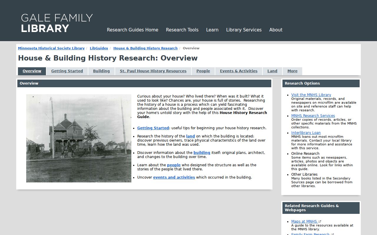
Use the method to keep a deed trail, directory entry, map, and permit record distinct while comparing them around the same New Brighton address. The guide is a starting framework, not evidence about any specific past resident.